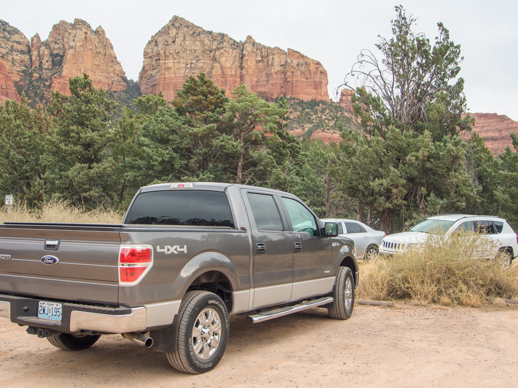
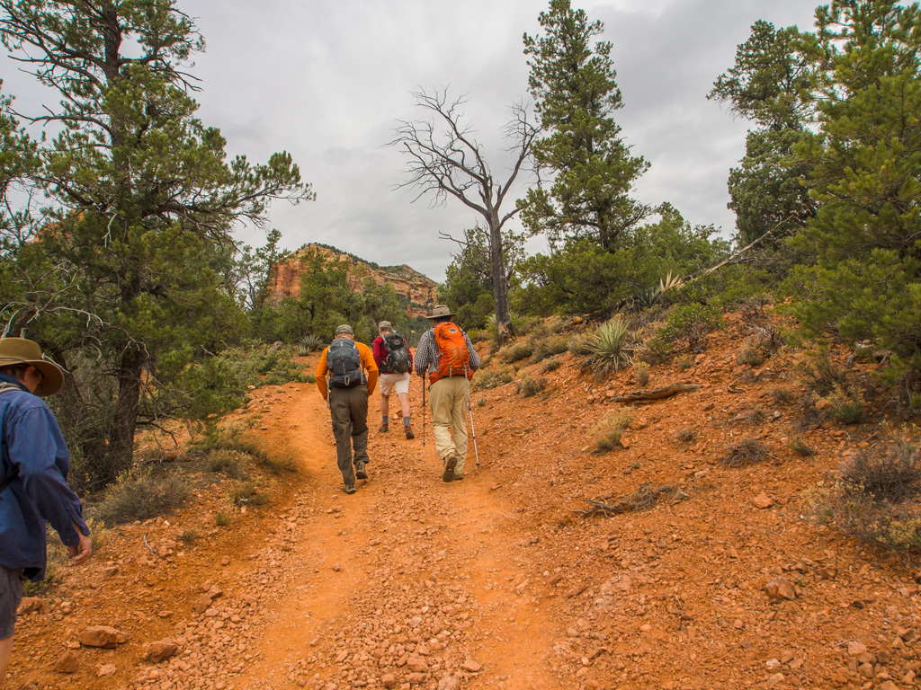
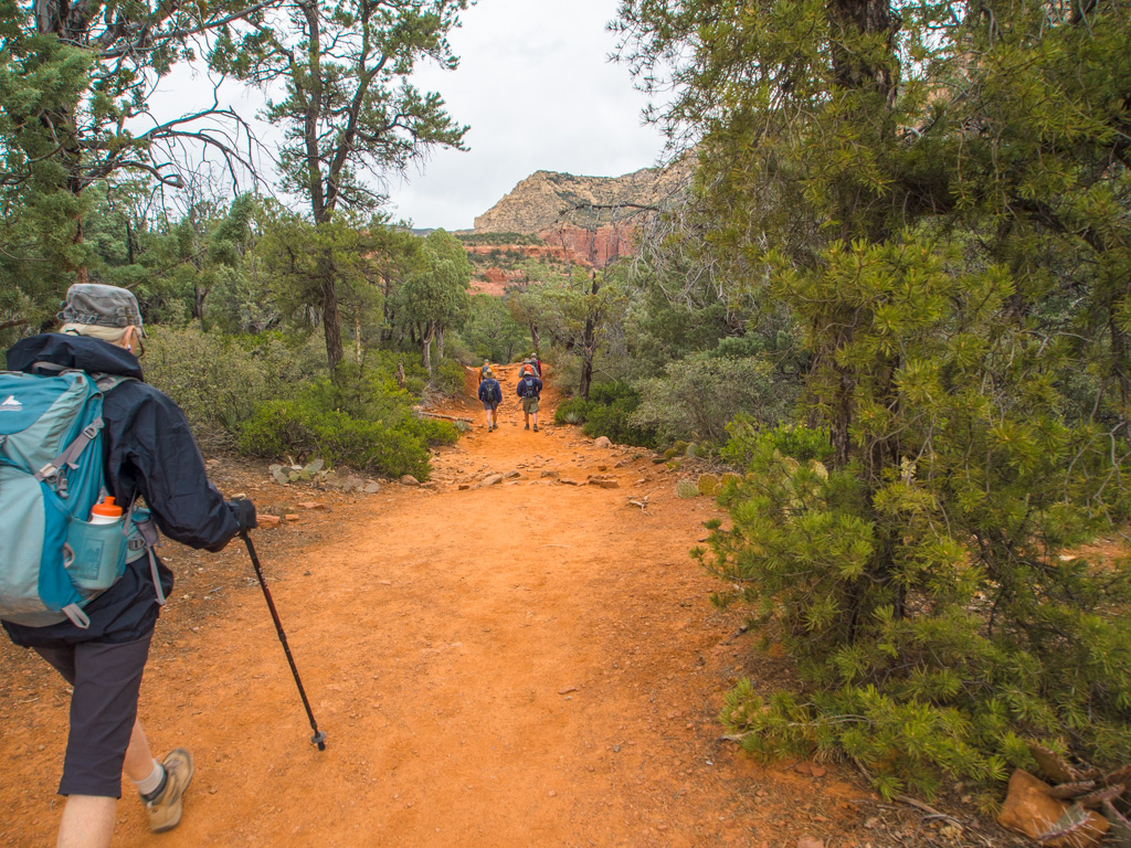
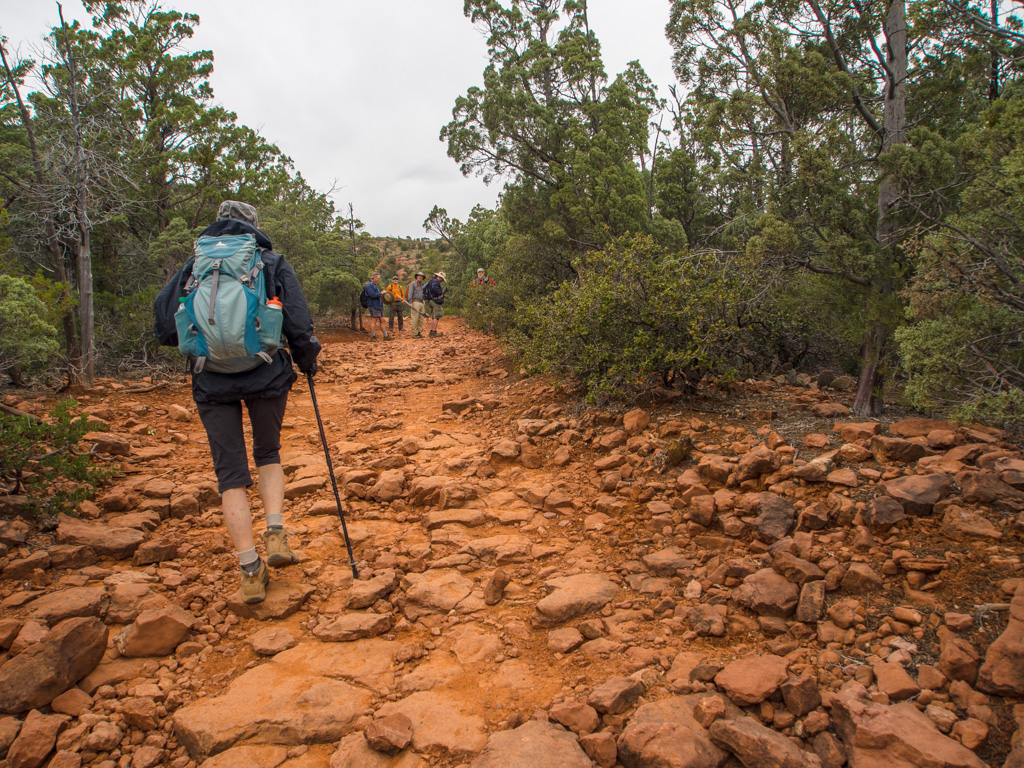
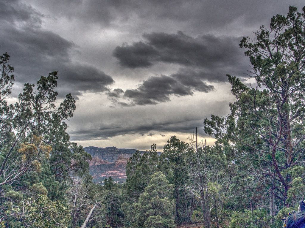
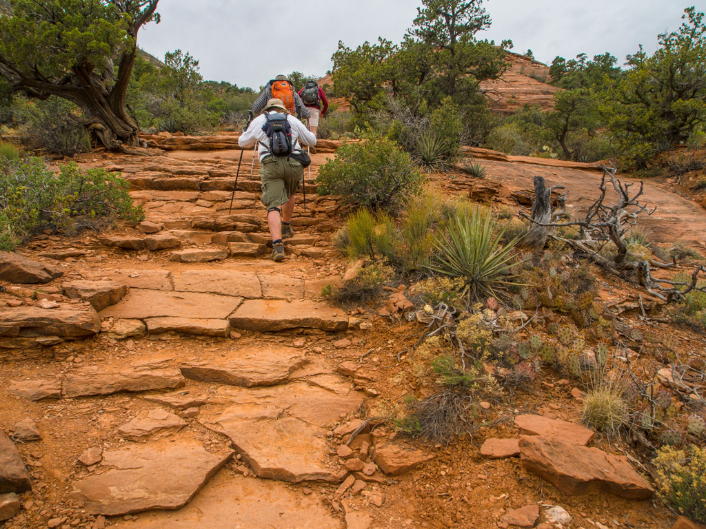
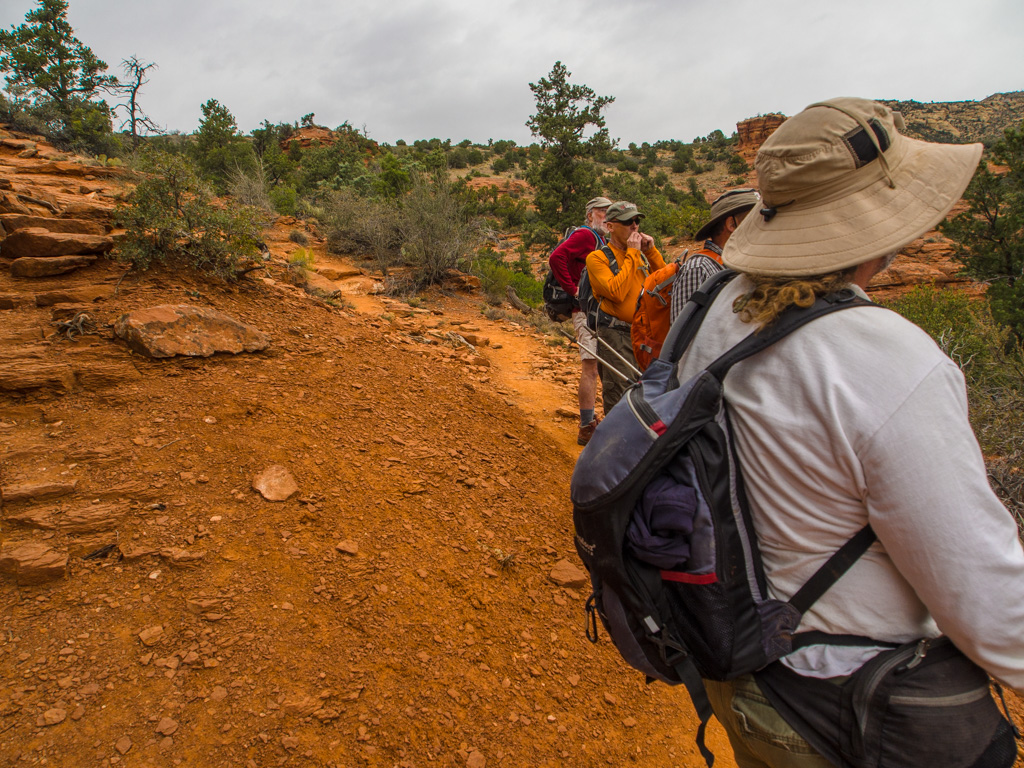
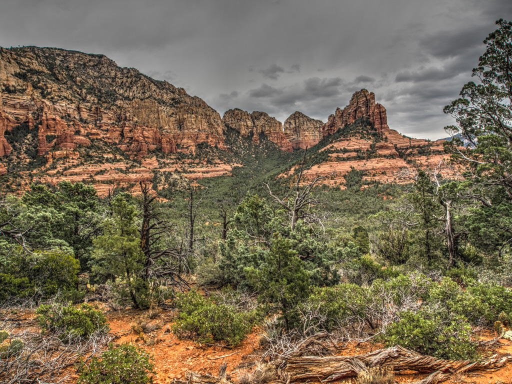
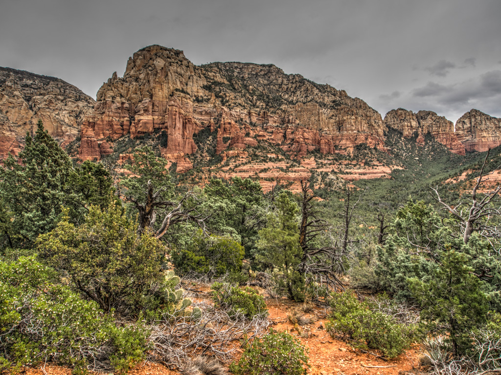
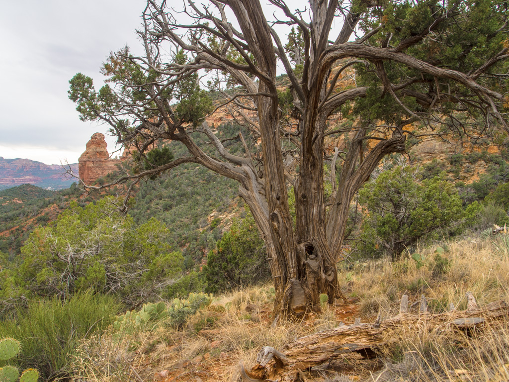
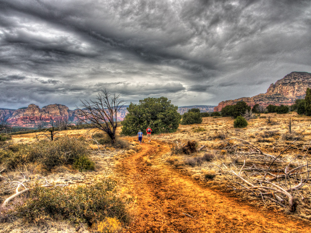
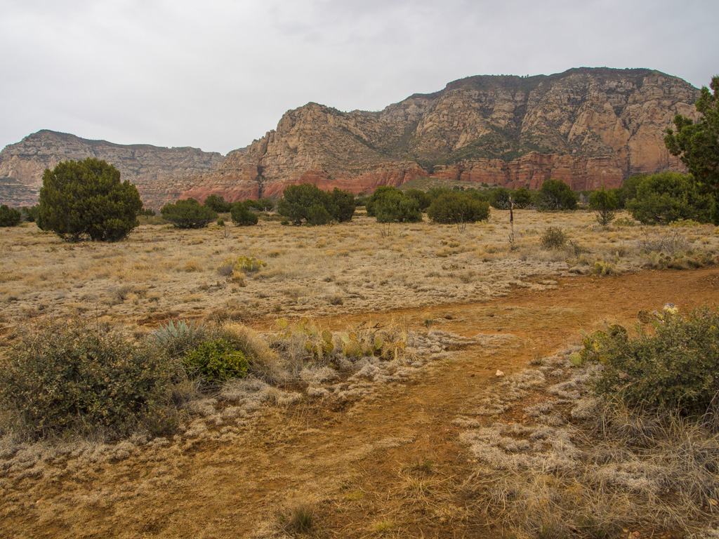
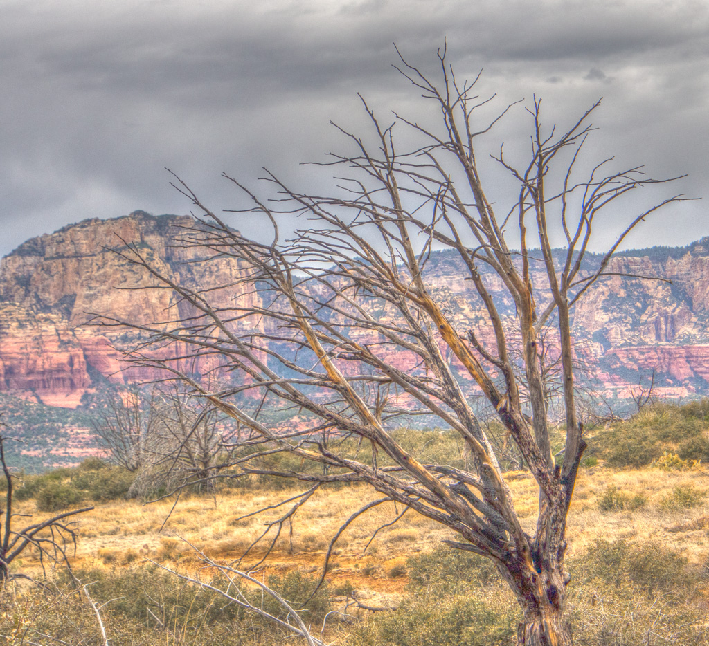
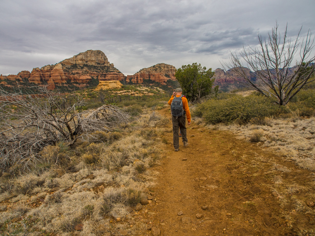
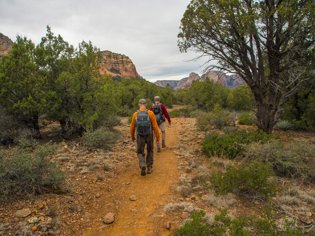
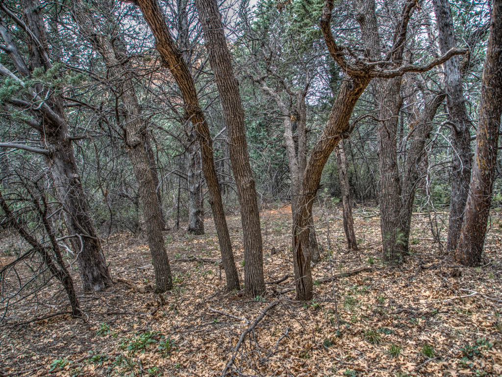
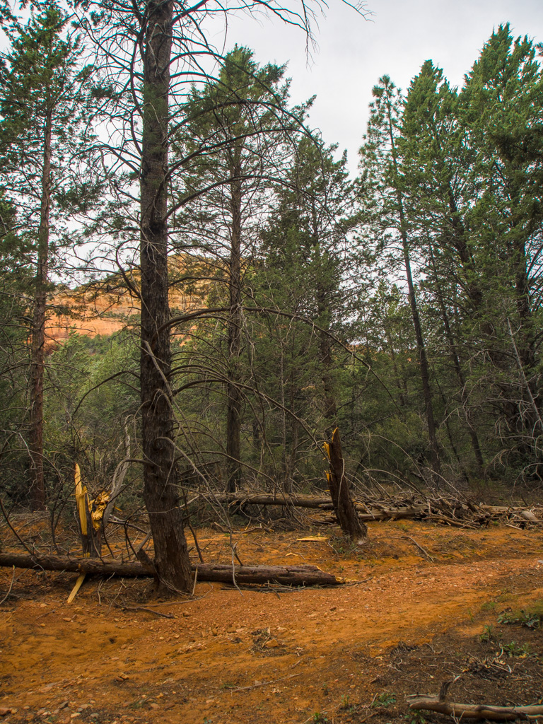
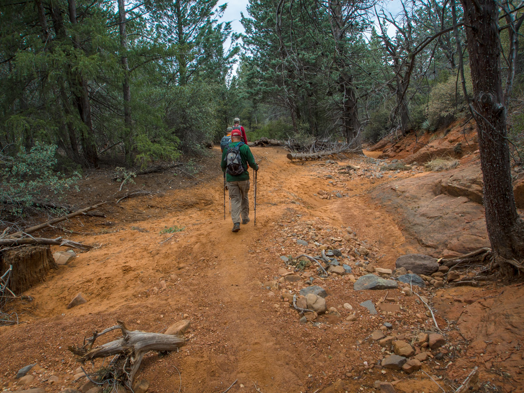
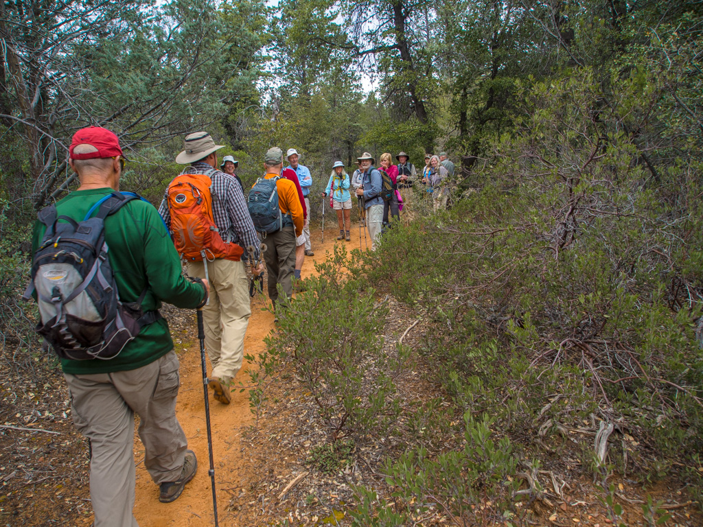
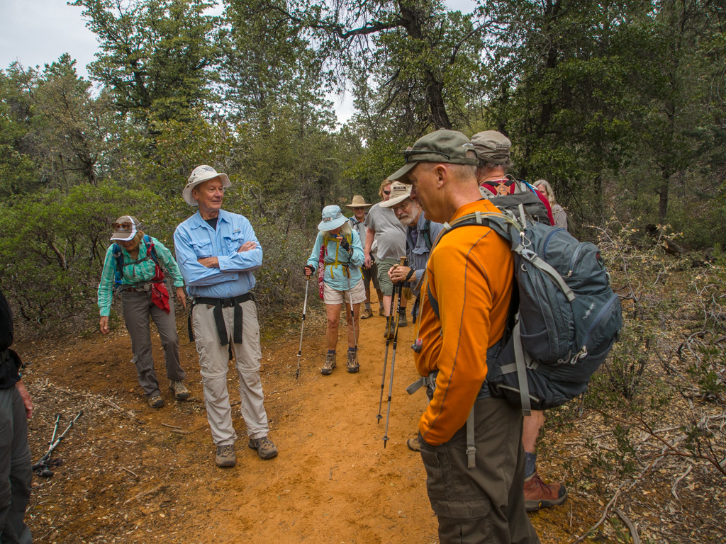
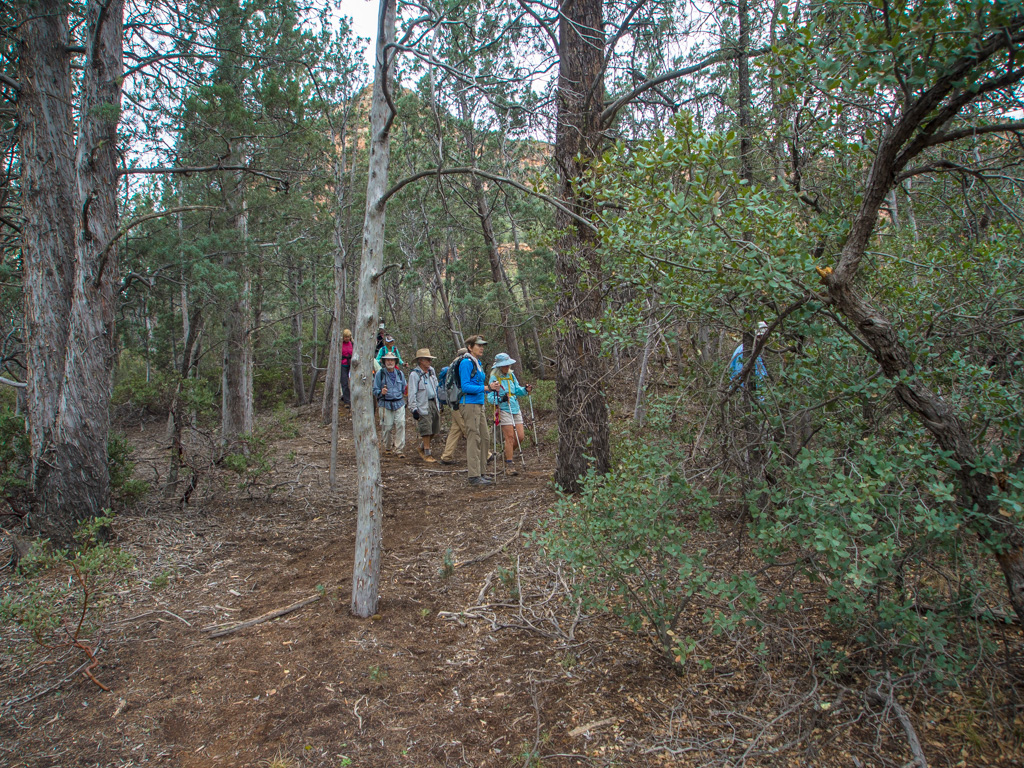
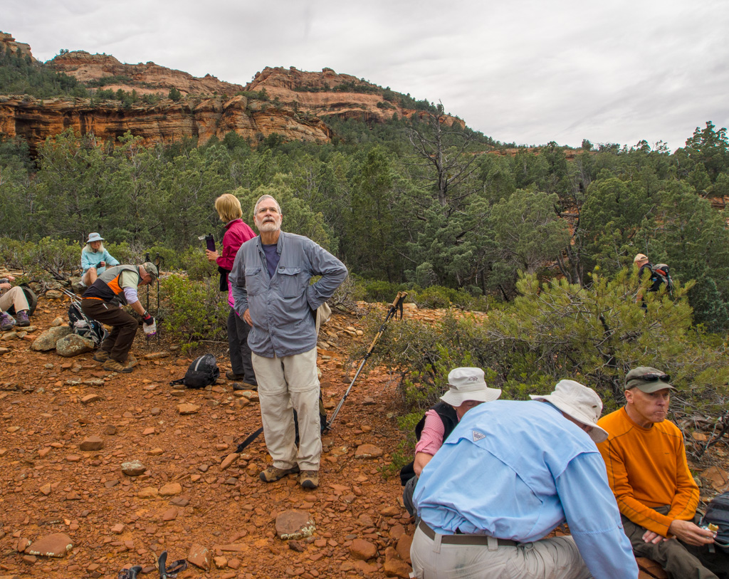
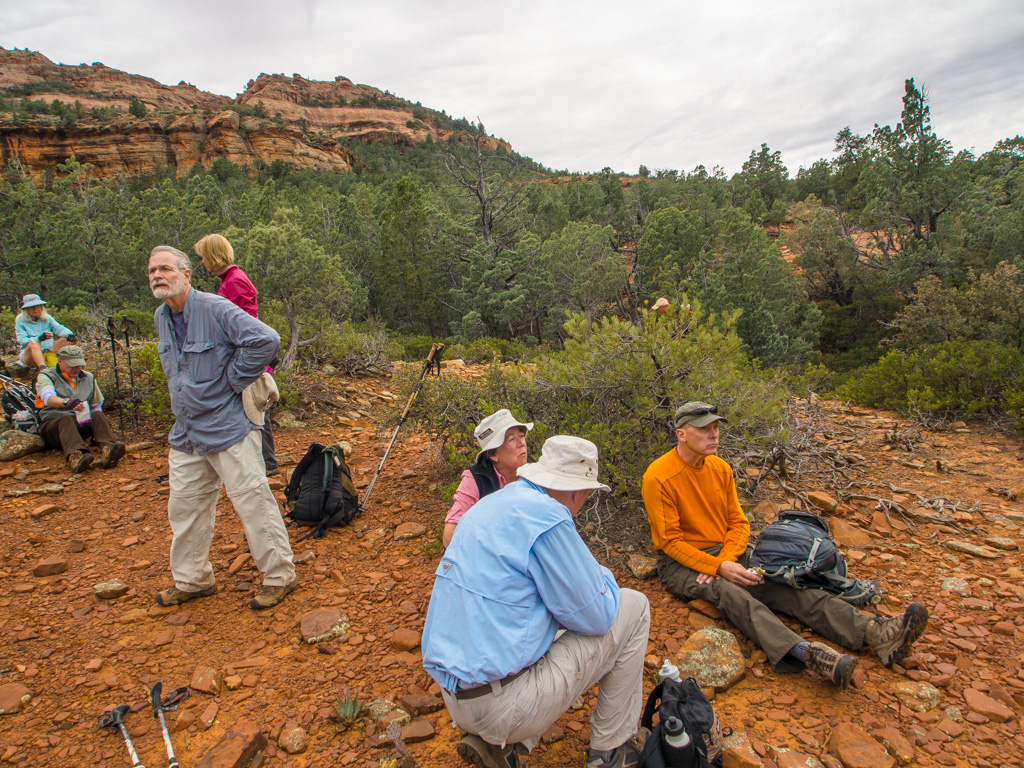
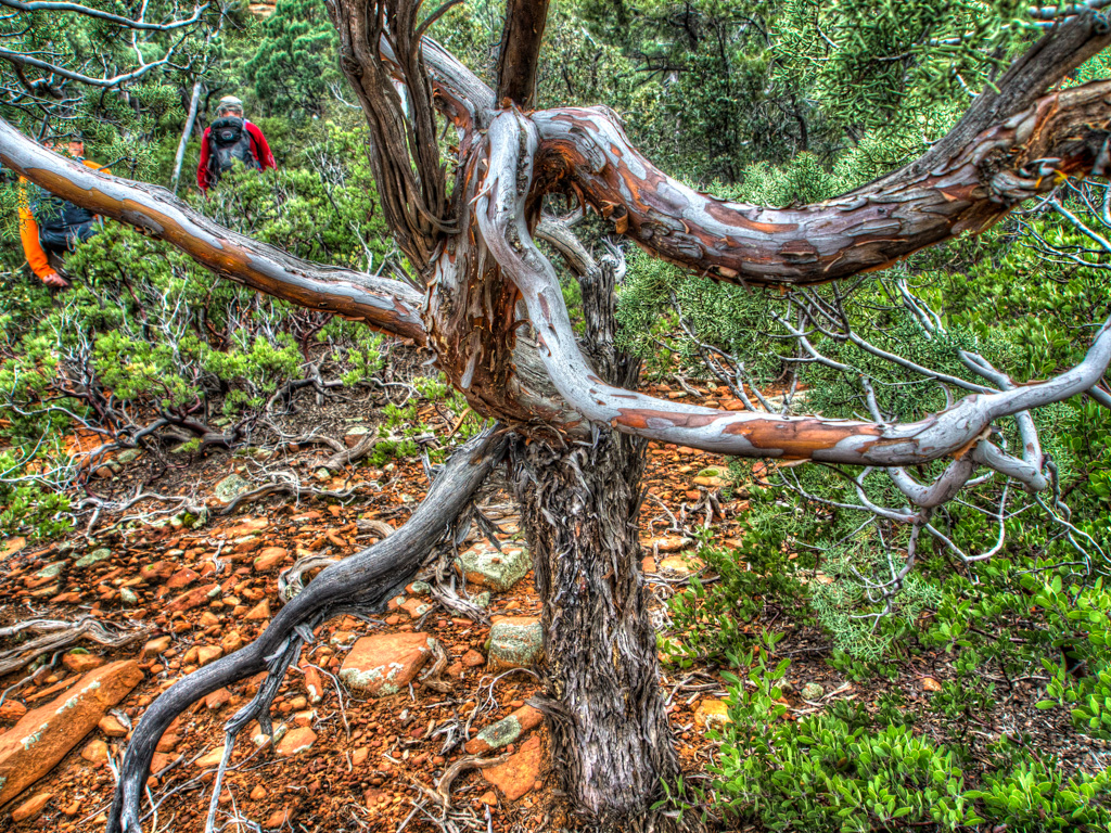
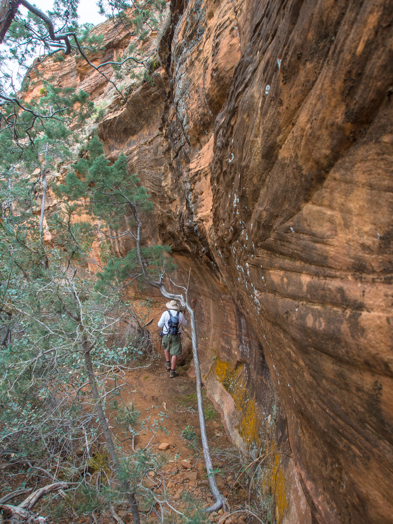
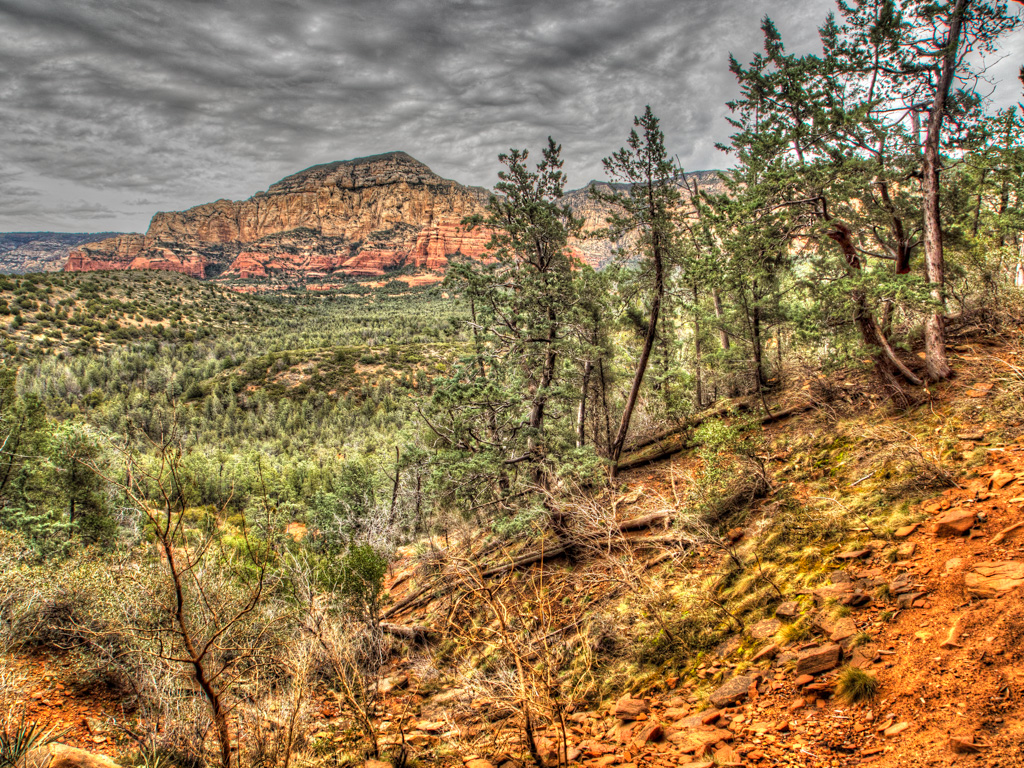
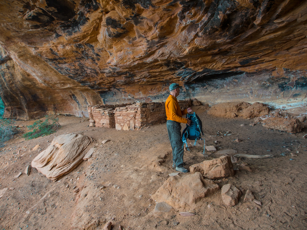
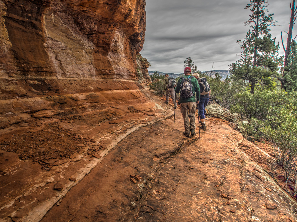
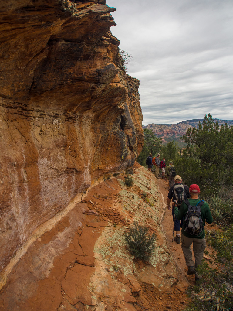
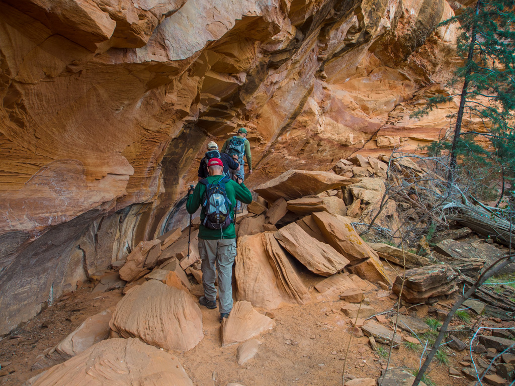
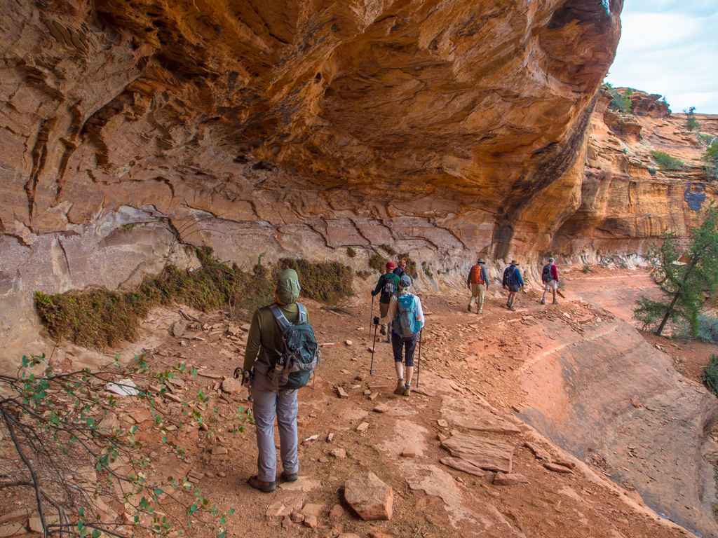
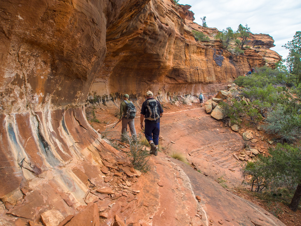
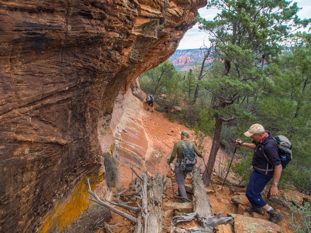
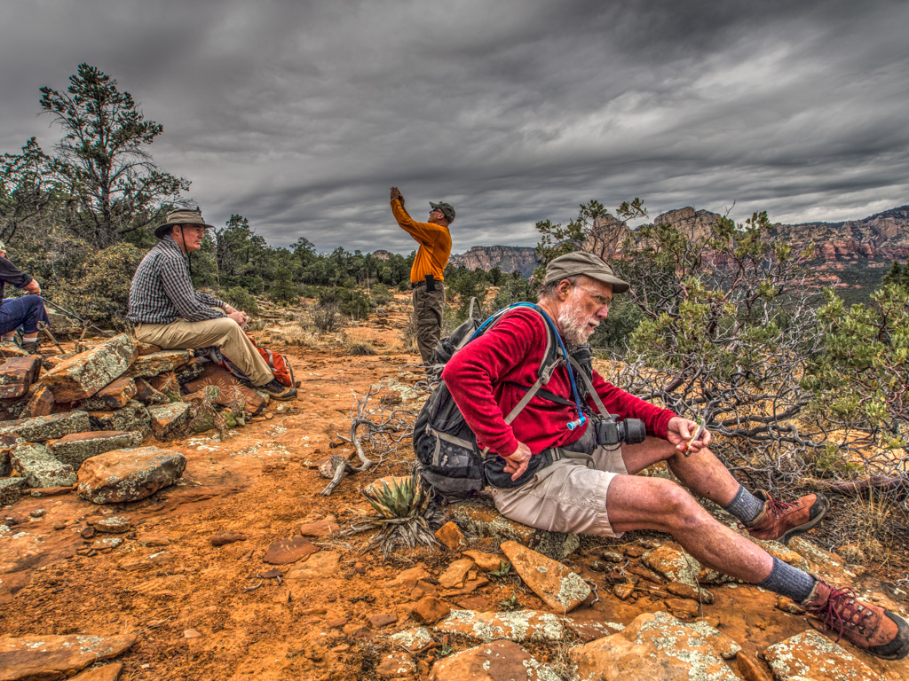
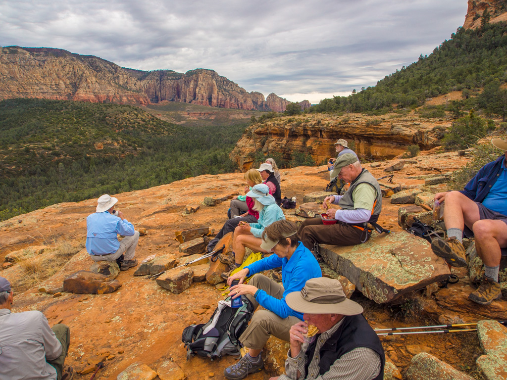
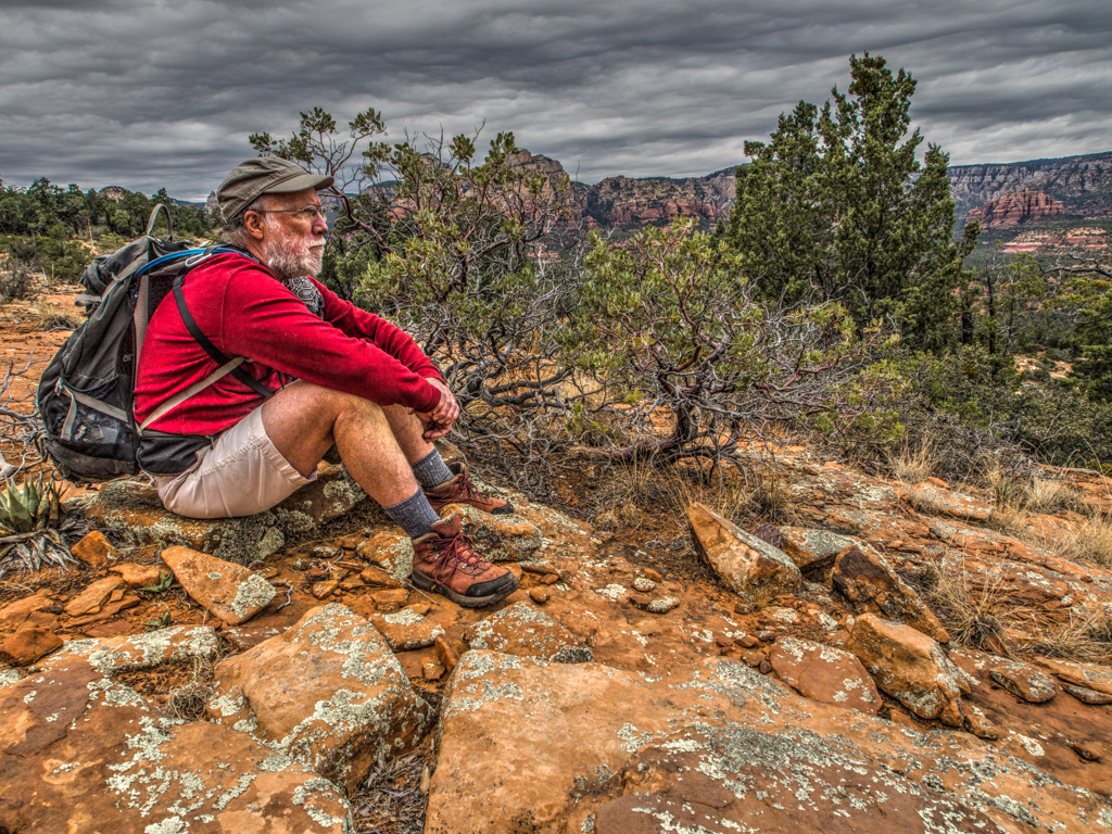
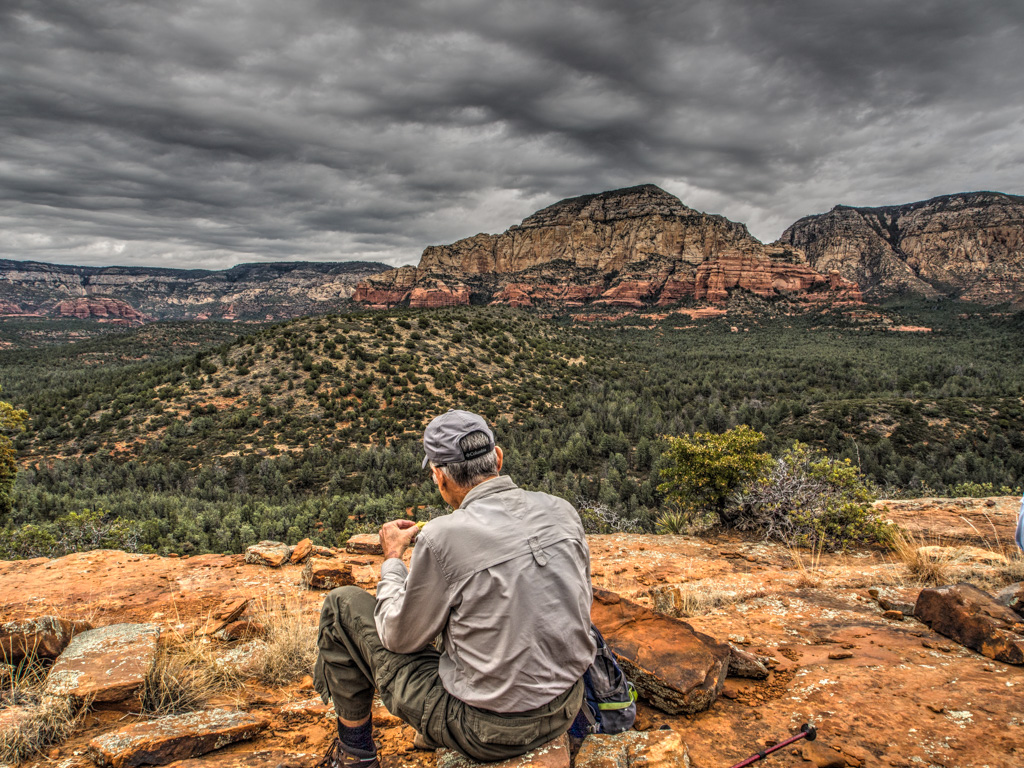
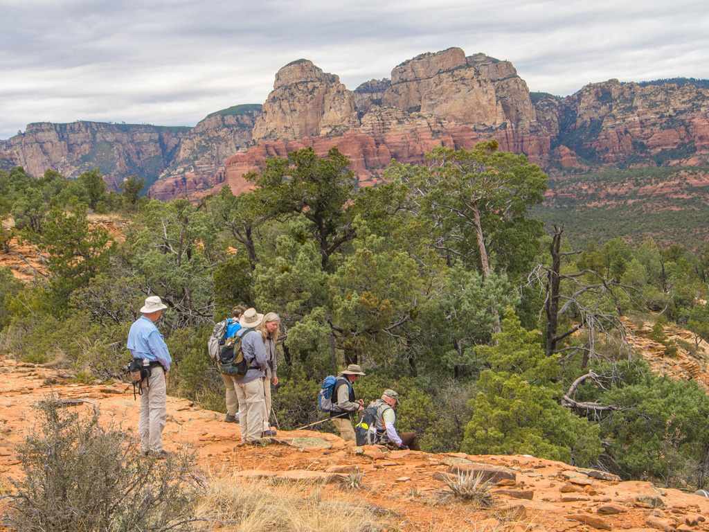
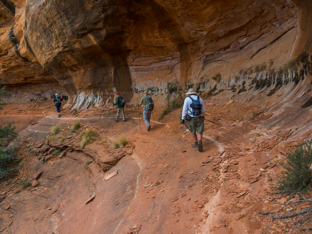
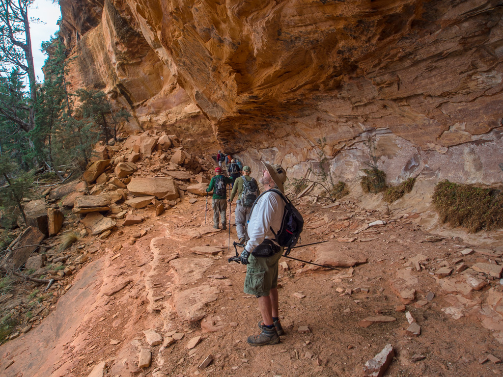
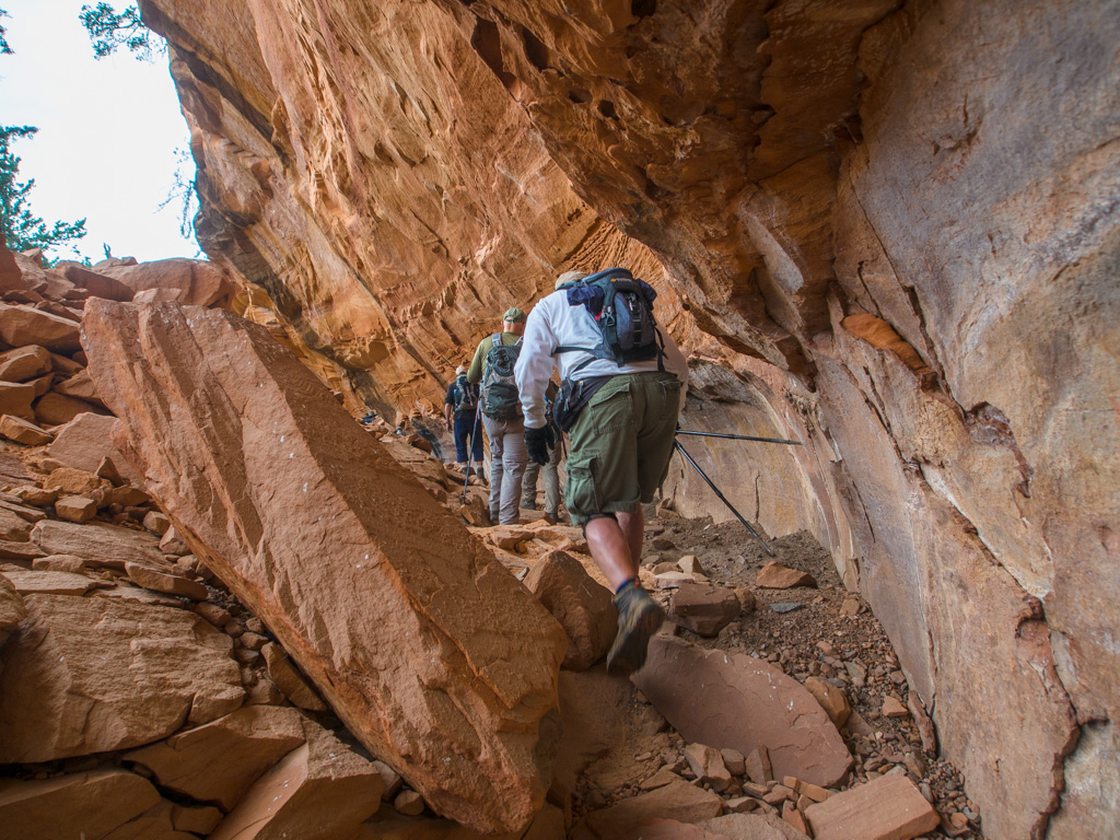
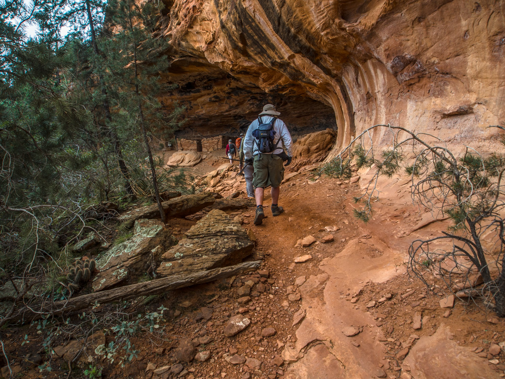
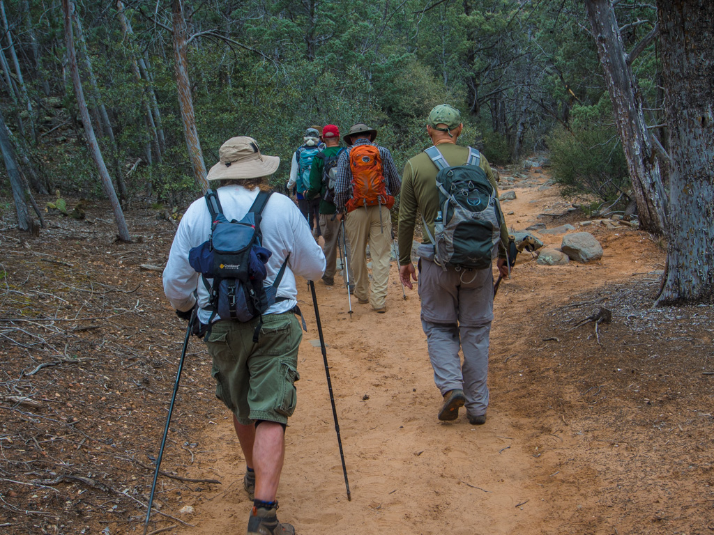
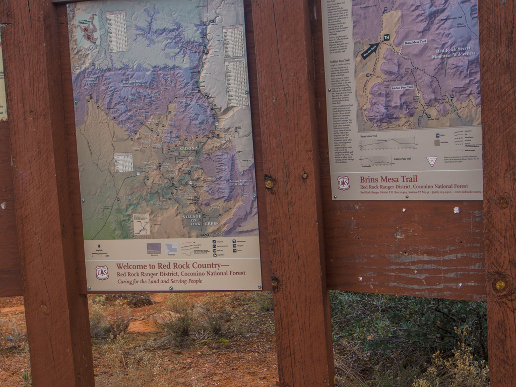
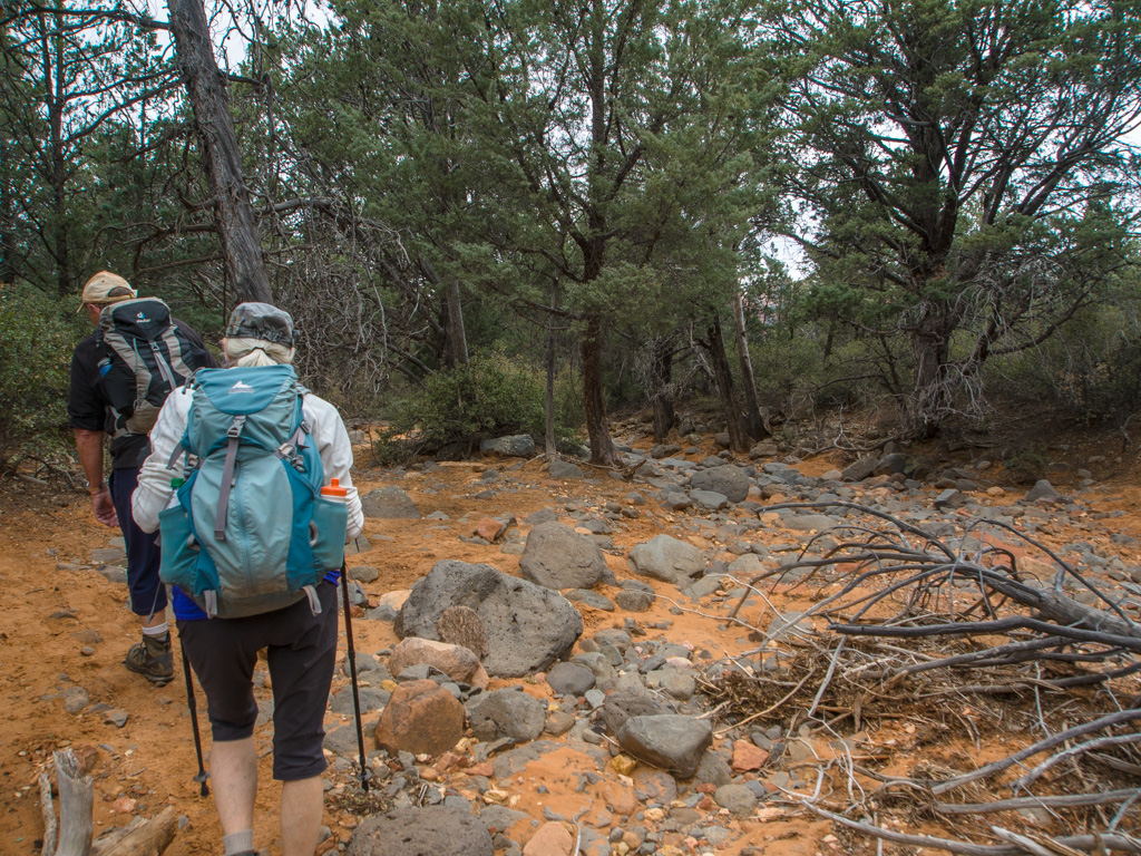
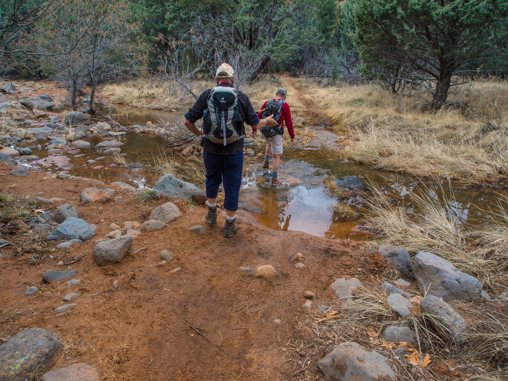
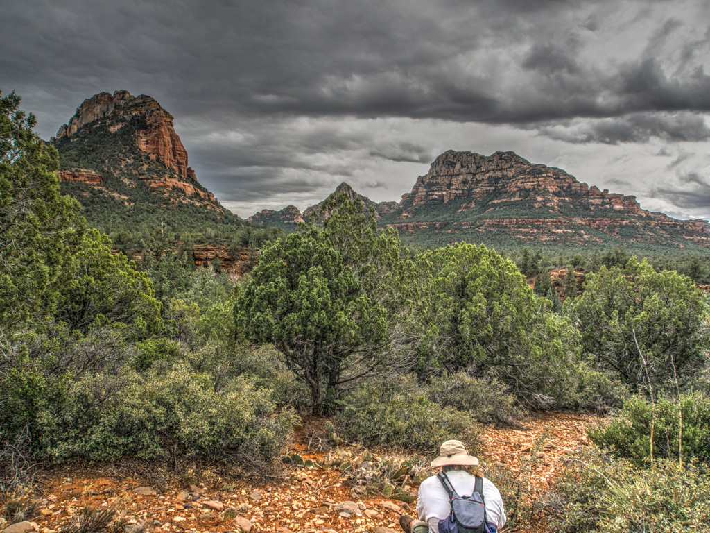
This 'key exchange' hike requires the party to split into two equal groups, which start from opposite ends of the trail. When the two groups meet, car keys are exchanged so that both groups can proceed to the opposite end of the trail from where they started, and then drive back to a central point.
1 BRINSLINGER
2 Starting at the Jordan Road end of teh combined trail
3
4
5
6
7
8 The steep climb onto Brins Mesa
9
10
11
12
13
14
15 On top of the Mesa, and we're getting a few sprinkles
16
17 Dead trees from the 2006 burn are still around
18
19 We move ahead toward FR 252
20
21
22
23 Even after two warm weeks, there is still some patchy ice
24
25 Meanwhile, half the group has been hiking from the Chuckwagon/Gunslinger Trail off Long Canyon Rd. Now we meet in the middle.
26
27
28 Together we take a side trail for a snack...
29
30
31 Fresh moss. This spends most of the year black and dormant.
32
33
34 ...And a visit to the Soldier Heights ruin and petroglyphs
35
36
37
38
39
40
41
42
43
44
45
46
47
48
49
50
51
52
53
54
55
56
57
58
59
60
61 At one point in the long alcove, wasp nest holes in existing tafoni
62 Calcium efflorescing on sandstone
63
64 Lunch on the heights above the alcove
65
66
67
68 Great views of Thunder Mountain and the west side of town
69
70
71 Back along the alcove to the public trail
72
73
74
75
76 Here the group splits again, both walking in the same directions we started